CONTACT · 617-244-7309
Shoplick landscape architecture

EAST BOSTON GREENWAY
East Boston, MA
The construction of Conrail Corridor of the East Boston Greenway constituted the first 0.5-mile segment of what eventually became a 2.5-mile long linear park that traversed East Boston. It represented the hard work and determination of many East Boston citizens to reclaim open space that was lost to airport expansion and development in the early 20th century. As the first piece of the greenway to be built, the Conrail Corridor established many of the material and spatial standards that were used throughout the park. It also sustained the momentum of the community’s optimism by giving people a glimpse of the greenway that would eventually connect East Boston’s busy urban waterfront to its peaceful marshland habitat.


Located on a railroad bed that was abandoned in the 1950s, the design of the Conrail Corridor draws upon the area’s industrial history and working-class heritage. Fencing with bolted connections and columns with riveted steel cross members mark the greenway’s entrances, recalling railroad architecture. A donated Conrail caboose was refurbished to be used as a future snack bar and/or ranger station. Rails found on the site were salvaged and integrated into the paving and wildflower meadow areas at the entrance. Large granite blocks were reclaimed from local construction sites and used to build seats and retaining walls similar to those existing on-site.
Years of use as a railroad transportation route left contaminated soils along the length of the Conrail Corridor. The site was also located in a 100-year flood zone with a groundwater level often less than one foot below finish grade. These conditions made the grading and drainage of the site with no additional fill extremely challenging. The situation was addressed by removing the contaminated soil and treating it conventionally at a remote facility. An extensive series of infiltration systems, which can be simply described as linear drywells filled with washed stone, were sited throughout the greenway connecting all catch basins and drain inlets. The infiltration systems function to hold runoff after a storm, and then let it slowly percolate back into the surrounding soil. In the event the capacity of the infiltration system is exceeded, a back-up pump removes excess stormwater from the greenway to the City’s stormwater system.
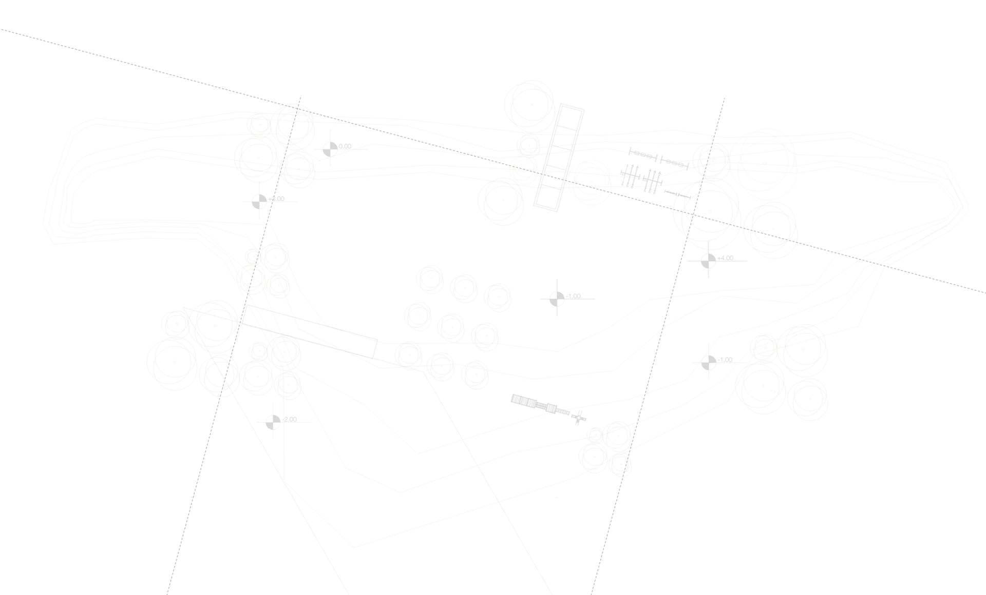
Most of the Conrail Corridor is depressed 10’ to 20’ below adjacent properties and is crossed by three vehicular overpasses. The corridor is relatively narrow, typically 32’-60’ wide, with a cross-section that is characterized by steep side slopes and a flat bottom. Despite these spatial constraints, the community requested that two paths be built along its length, a 10’-wide bicycle path and a 6’-wide walking path. Because the corridor’s narrow width doesn’t allow much horizontal space between pathways, the elevation of the two lanes was adjusted wherever possible to vertically separate pedestrians from bikers.
Native plantings were also used to enhance lane separation. Flood tolerant trees were used along the greenway’s floor, while drought-tolerant species were planted on the slopes. Wildflowers grasses were also established on the greenway’s side slopes. The meadow not only eases park maintenance, requiring mowing only once a year, but it also carries on the site’s history as an urban wild and transportation corridor.
Clients: Boston Parks and Recreation, Massachusetts Highway Department
Landscape Architect and Project Manager: Jane Shoplick, Copley Wolff Design Group
Civil Engineers: Samiotes Consultants, Framingham, MA
Contractor: Fleming Brothers, Inc.